147 Old Bernal Ave. Suite #10 (Upper Floor) Pleasanton, CA 94566

147 Old Bernal Ave. Suite #10 (Upper Floor) Pleasanton, CA 94566
YOUR RECOMMENDED Surveying Solutions Experts in the Bay Area
Reliable and Precise Land Surveying Services
Featured below is a comprehensive list of land surveying services Alexander & Associates offers to Pleasanton, CA, and the surrounding area. If you have any questions or would like to book service for yourself, your municipality, or your organization, call us at (925) 462-2255 today.
Topographic/Site/Residential Surveys
Carried out prior to construction, to gather survey data about land features and its elevations.
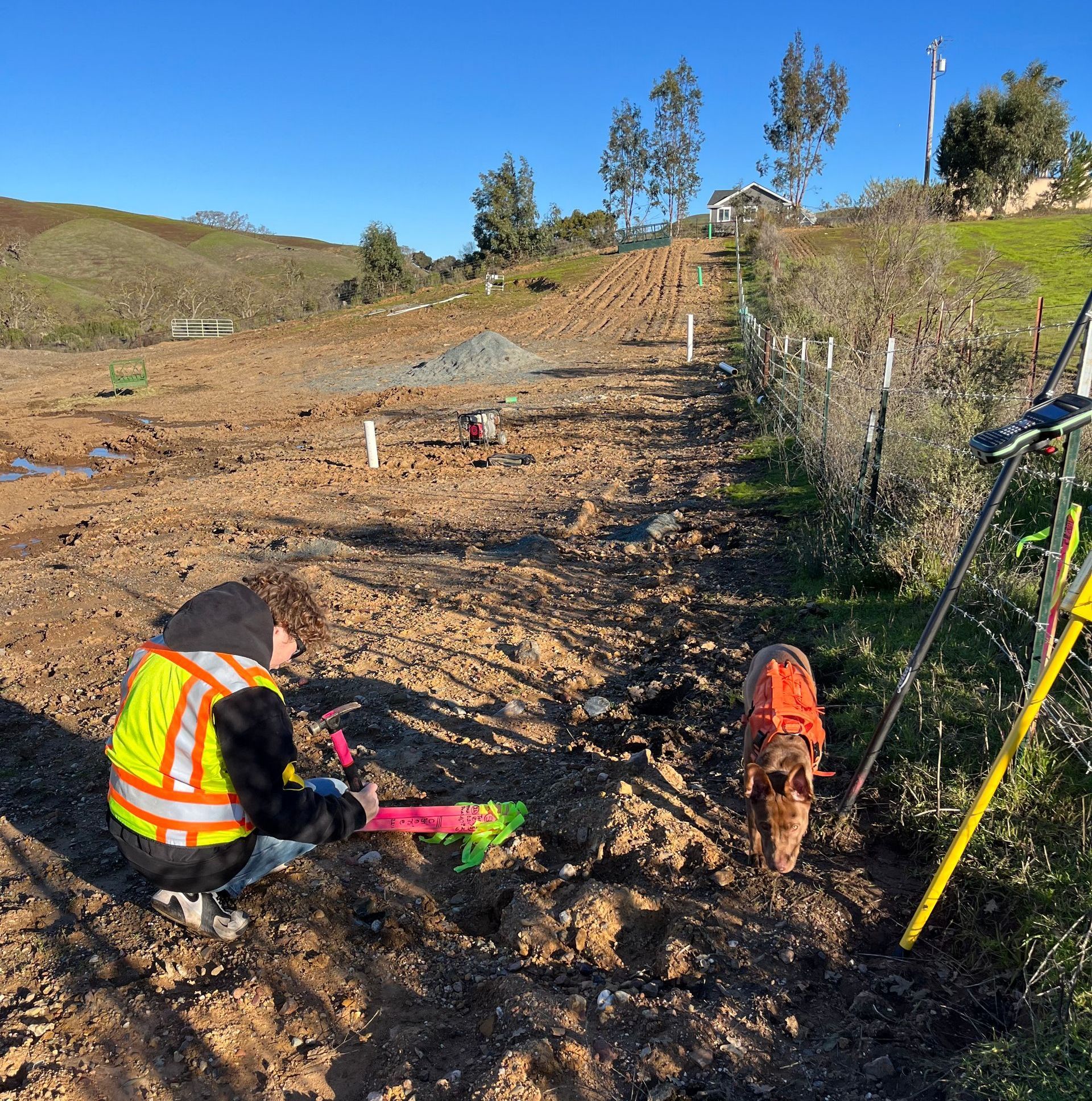
Construction Layout/Staking
Accurate construction layout and placing of stakes, plus monitoring services. This includes foundation layout and corner staking services.
Boundary/Property Line Surveys
Determines the legal property lines of a parcel of land described in a deed.
Parcel Maps/Minor Subdivisions
A minor subdivision map process when subdividing residential lots into four lots or less.
Tract Maps/Subdivisions
Process used to subdivide real property into smaller lots.
Aerial Surveys
Geomatic method of collecting information by using aerial photography, or remote sensing imagery.
As-Built Surveys
Used in the middle of a project to show improvements to the land as they appeared at a point in time.
Lot Line Adjustments/Mergers
Adjustment of lot lines between four or fewer existing adjoining parcels or merging up to four adjoining parcels.
Record of Surveys
Official map that is reviewed by the County Surveyors Office.
Corner Records
Fills the need for a short and inexpensive method of making survey information available to the public.
Building Setback/Height Verifications
Determining compliance to regulations for setbacks (a.k.a. step-backs), a step-like recession in walls, as well as height.
Story Pole Locations
Constructed as needed on job sites and consist only of the measurements that are required.
FEMA Flood Elevation Certificates
Used to certify building elevations if the building is located in a special flood hazard area.
Legal Descriptions/Plats/Easements
Also referred to as a land description, property description, or land boundary description. Plats serve to subdivide parcels of land, while easements pertain to the right to use another person’s land for a stated purpose.
Global Positioning Satellite (GPS) Surveys
Provides surveying and mapping data of the highest accuracy, reducing the need for additional equipment and labor.
Monitoring Surveys
Systematic measurement and tracking of the alteration in the shape or dimensions of an object as a result of stresses.
Urban Lot Splits (SB-9)
A one-time subdivision of an existing single-family residence into two parcels.
ADU Surveys
An accessory dwelling unit used as an effective option for adding much-needed housing to California.
Browse our Website
Contact information
Phone: (925) 462-2255
Fax: 925-462-8092
Email: surveyor@trivalley.com
Address:
147 Old Bernal Ave. Suite #10 (Upper Floor)
Pleasanton, CA 94566


Business hours
- Monday
- -
- Tuesday
- -
- Wednesday
- -
- Thursday
- -
- Friday
- -
- Saturday
- Closed
- Sunday
- Closed